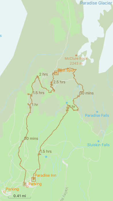
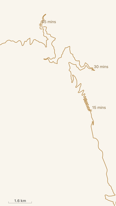
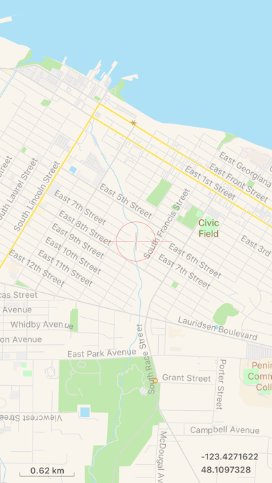
TrailTool supports creating map from within the app from publicly available OpenStreetMap data. So wherever you plan for your next adventure, your map can always be up to date. It does not require wireless connection to work in the field or outdoor. It respects your privacy, any saved tracks or locations are always stored on device, no data is ever uploaded to the cloud. So your data is safe. ## Main Features - Record GPS tracks or mark point of interest on screen for trip planning or actual location while in the field - Create map dataset from OpenStreetMap data (PBF) directly. Support option to use native language (default) or English as place names or labels. - Support data exchange format: PBF, GeoJSON/JSON and GPX - Support data sharing via AirDrop or standard iOS share functionality for any data used within the app For device without GPS (such as iPad without cellular service), the app can be used for trip planning to review map, existing tracks, point of interests etc. Maps, tracks or point of interests from one device can be shared with other devices via AirDrop. ## Map Data The app comes with one sample map and one sample OpenStreetMap PBF file. For additional data, you can go to OpenStreetMap web site or within app, choose About -> Additional Data… Hope you’ll find this app useful in your travel or hiking adventure!