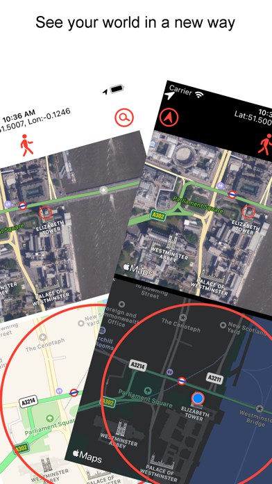
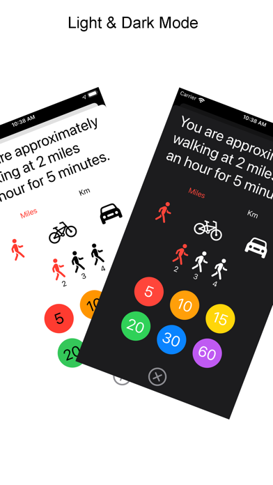
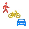
What's the straight line time/distance to walk, cycle or drive by car... find out with WalkBikeCar! See the world in a new way! Explore places in a new way - see both satellite and standard map views of any location together. Features 1) See your location on the map with the satellite view at the same time 2) Select between walking, cycling or driving at different speeds and times 3) Search for anywhere on Earth! 4) Tap the map and see the distance in ft/miles, metres/Km 5) See a zoom of where you tapped - it can be panned/pinched to zoom in/out 6) Find the latitude/longitude of anywhere on Earth 7) Version 1.3 added a help screen - the Joanne update! Pan the bottom map and see what's around you. Pinch the map to zoom in/out. When you zoom the map the circle will change to grey, use the menu to reset to a particular time. Tap the arrow to go to your current location, you need to have allowed location access on first start up. Tap the middle icon to change the modality of transport - walking, cycling/biking or driving. In the pop up menu - tap walking, cycling or driving, set your speed and then how many minutes you want to see. Tap the magnifying glass to search for place, postcode/zipcode or anything you can find on maps. WalkBikeCar uses a straight line distance to calculate time rings - it is not a navigation/routing app. The estimate of time is based on the straight line only and does not take into account the route, traffic or other features which may impede your journey! Privacy Information This app does not collect or store any user information. It relies on location information to show your current location using Apple Maps.